Hadrian's Wall
Hadrian's Wall is the largest surviving monument of the Roman frontier in Britain. It began after Emperor Hadrian came to the province in AD 122; the line crossed northern England from the area of modern Wallsend on the Tyne to the shores of the Solway Firth. The word "Wall" is convenient but incomplete: the system included stone and turf sectors, a northern ditch, milecastles, turrets, forts, a military road, the southern Vallum, civilian settlements, cemeteries and service areas.
The monument matters not only because of its length. It shows how Rome turned a frontier into an inhabited landscape: control of movement, service by auxiliary units, construction, supply, trade, local cults and the life of families around forts all met here. Hadrian's Wall is therefore best understood as a frontier region in which the Wall itself was only the most visible part of a complex infrastructure.
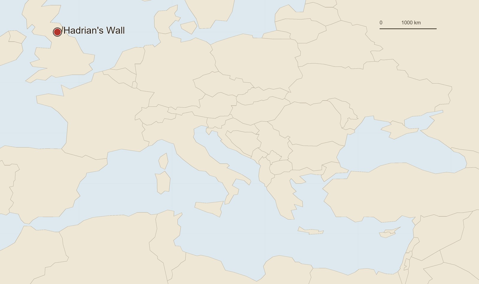 Location map: Hadrian's Wall. The marker shows the ancient site or main archaeological complex.
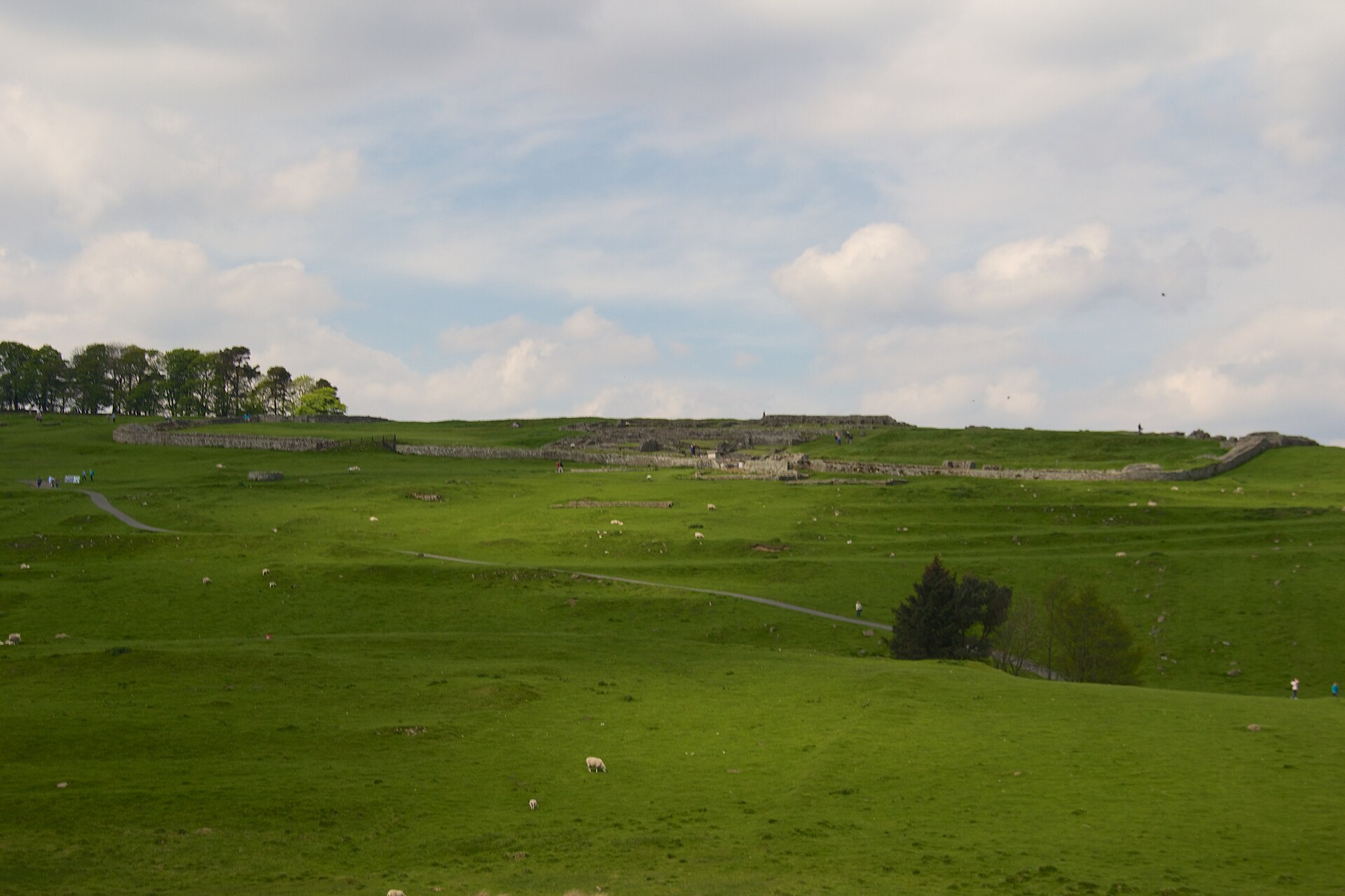 Housesteads (Vercovicium), a Roman fort on Hadrian's Wall. Modern view of the excavated buildings.
The Fortified Line
The line was about 80 Roman miles long. In the east the Wall was mostly built in stone, while early western sectors used turf and were later rebuilt; width, material and survival differ from sector to sector. North of the Wall ran a ditch, while farther south lay the Vallum, a large earthwork probably connected with controlling the zone behind the frontier line and movement into the military area.
At every Roman mile stood a small fortified post, or milecastle, and two turrets usually lay between neighbouring milecastles. This regular grid is important in itself: the Wall was not merely an obstacle, but a system of observation, controlled passages, signals and movement along the line. It did not fully cut Britain off from the lands beyond it; it created places where movement became visible, checkable and manageable.
The route also used topography. In some sectors it followed natural heights; in others it required embankment, ditch, gates and approach roads. Modern stretches therefore look different: in one place the line is dramatic on the crags, in another only low foundations survive, and elsewhere the plan has to be reconstructed from ditches, stonework, inscriptions and old excavation records.
![Staffordshire Moorlands Pan: an enamelled bronze vessel of the 2nd century AD listing forts on the western sector of Hadrian's Wall and the name Val[l]i Aeli.](/photo/6386/hadrians-wall-staffordshire-moorlands-pan.jpg) Staffordshire Moorlands Pan: an enamelled bronze vessel of the 2nd century AD listing forts on the western sector of Hadrian's Wall and the name Val[l]i Aeli.
Staffordshire Moorlands Pan: an enamelled bronze vessel of the 2nd century AD listing forts on the western sector of Hadrian's Wall and the name Val[l]i Aeli.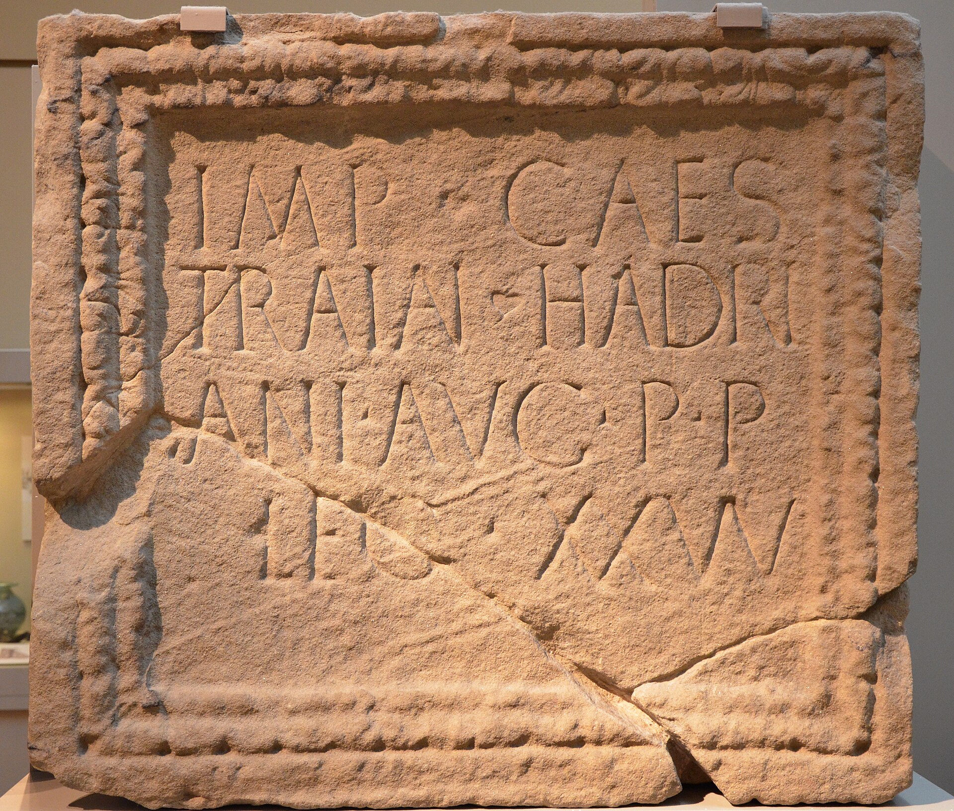 Hadrianic building inscription from the fort of Moresby: the work was carried out by Legio XX Valeria Victrix. AD 128-138; British Museum.
Forts and Garrisons
Before the Wall was built, northern Britain already had military infrastructure, especially the Stanegate road and forts south of the future line. The Hadrianic system did not simply add a wall to an older road: some major forts were built into the line itself or placed directly beside it. Housesteads, Chesters, Birdoswald, Segedunum, Carlisle and other sites have to be studied together with milecastles, turrets, roads, baths, storehouses and settlements.
The garrisons of the Wall were mainly auxiliary units. Infantry, cavalry and mixed formations from different parts of the empire served here. Inscriptions and reliefs reveal specific units and people: cohors I Hamiorum with Syrian archers, alae and cohorts with their commanders, dedications to gods, legionary building inscriptions and soldiers' tombstones. The Wall was not an impersonal "Roman wall"; it was a place where the imperial army became a local society.
Legionaries were especially important during construction. They built sectors of the Wall, gates, roads and forts, leaving inscriptions that recorded completed work. Auxiliaries then carried out daily service: watching, guarding passages, escorting movement, maintaining contact between forts and taking part in the local economy.
 Relief with an archer of cohors I Hamiorum, found at Housesteads on Hadrian's Wall. First half of the 2nd century AD; visual evidence for auxiliary troops in Britain.
Civilian Landscape
Civilian settlements, or vici, grew beside forts, with shops, workshops, housing, cult places and cemeteries. They connected the garrison with the local economy: supplies of grain, livestock, leather, metal, pottery, fuel and services. Traders, craftsmen, soldiers' families, enslaved people, freed people, local inhabitants and newcomers from other parts of the empire lived beside the military line.
Everyday finds are no less important than the stone Wall. Shoes, pottery, brooches, gaming pieces, tools, horse gear, writing tablets and small dedications show the real life of the frontier. They answer questions that the plan of the Wall cannot: what people ate, how equipment was repaired, where things were bought, which gods mattered in house and fort, and how women and children were present in the military landscape.
Well-contexted assemblages are especially valuable. The Vindolanda tablets give the everyday language of letters, Corbridge provides military and storage finds, Arbeia shows supply and maritime logistics, and Segedunum marks the eastern end of the line. Hadrian's Wall joins such sites into one system, but each has its own archaeological role.
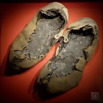 Calceae found near Hadrian's Wall. Britain, 2nd century AD; everyday archaeological material from the frontier zone.
Images, Inscriptions and Objects
Visual and written evidence for the Wall is not limited to general views of masonry. The archer relief from Housesteads matters because it connects a specific garrison with a visual image of equipment and unit memory. A building inscription shows who carried out work and how imperial authority was fixed in stone. The Staffordshire Moorlands Pan and other vessels naming forts show that the line of the Wall could become a recognisable object of memory and even a souvenir image.
Altar and stone inscriptions reveal the religious side of the frontier. Soldiers and officers dedicated objects to Jupiter, Mars, Mithras, local gods, nymphs, mother goddesses and imperial power. Such objects show not only religion, but social ties: who made the dedication, what post he held, in which fort he served and which cult seemed appropriate for his request or gratitude.
The material of the Wall is therefore strongest as an assemblage: the Wall gives the line, the fort the plan of service, the inscription a name and date, the relief an image, and the everyday object the scale of human life.
Phases and Later Use
Hadrian's Wall did not belong to a single building season or one military moment. The Hadrianic phase, second-century rebuilding, the relationship with the Antonine Wall in Scotland, third- and fourth-century changes, late antique use and modern restoration have to be distinguished. When the Romans advanced to the Antonine Wall, the Hadrianic line did not disappear forever; later it again became the main northern frontier.
In the third and fourth centuries garrisons, administrative conditions and the nature of threats changed. Some forts continued in use, others were rebuilt or reduced, and civilian settlements altered their form. After Roman administration ended, stone from the Wall was reused, and medieval and modern settlements incorporated its material into their own buildings. The modern appearance of the monument is the result of ancient building, later robbing, excavation, heritage protection and tourism.
A single find from the Wall should not automatically be applied to every Roman camp or to the whole imperial period. Strong interpretation combines wall sector, dated layer, associated fort, excavation publication, museum attribution and comparable complexes such as Vindolanda, Corbridge, Arbeia and Segedunum.
Short Chronology
- AD 122 - after Hadrian's visit to Britain, construction of the Wall line begins.
- 120s - the Wall, ditches, milecastles, turrets and early decisions about forts take shape.
- Mid-2nd century - attention partly shifts to the Antonine Wall, but the Hadrianic line retains importance.
- Late 2nd-3rd century - the Wall again becomes the main northern frontier of Britain; rebuilding and garrison life continue.
- 4th century - the system changes with late Roman Britain, but many points remain important.
- Post-Roman period - stone is robbed and sectors are lost, but the line remains in the landscape and in later memory.
- 19th-21st centuries - excavation, museums, conservation and digital survey gradually refine the plan of forts, settlements and individual finds.
Related Topics
- Roman Archaeological Sources
- Vindolanda
- Corbridge
- Arbeia
- Segedunum
- Inchtuthil
- Roman Army
- Auxilia
- Castrum
Literature
- Breeze D. J. Hadrian's Wall: A Study in Archaeological Exploration and Interpretation. Archaeopress, 2019.
- Breeze D. J.; Dobson B. Hadrian's Wall. 4th ed. Penguin, 2000.
- Bidwell P., ed. Hadrian's Wall 1989-1999. Cumberland and Westmorland Antiquarian and Archaeological Society, 1999.
- Birley A. R. The People of Roman Britain. University of California Press, 1979.
- Symonds M. F. A.; Mason D. J. P., eds. Frontiers of Knowledge: A Research Framework for Hadrian's Wall. Durham County Council, 2009.
- Allason-Jones L. Women in Roman Britain. British Museum Press, 2005.


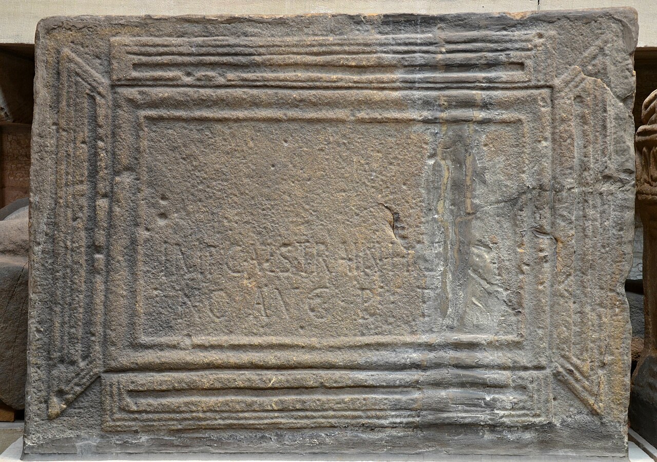 Hadrian's Wall: Dedication slab for the Emperor Caesar Trajan Hadrian Augustus, father of his country,...; material-culture object or museum find connected with the site, Roman period or local archaeological context.
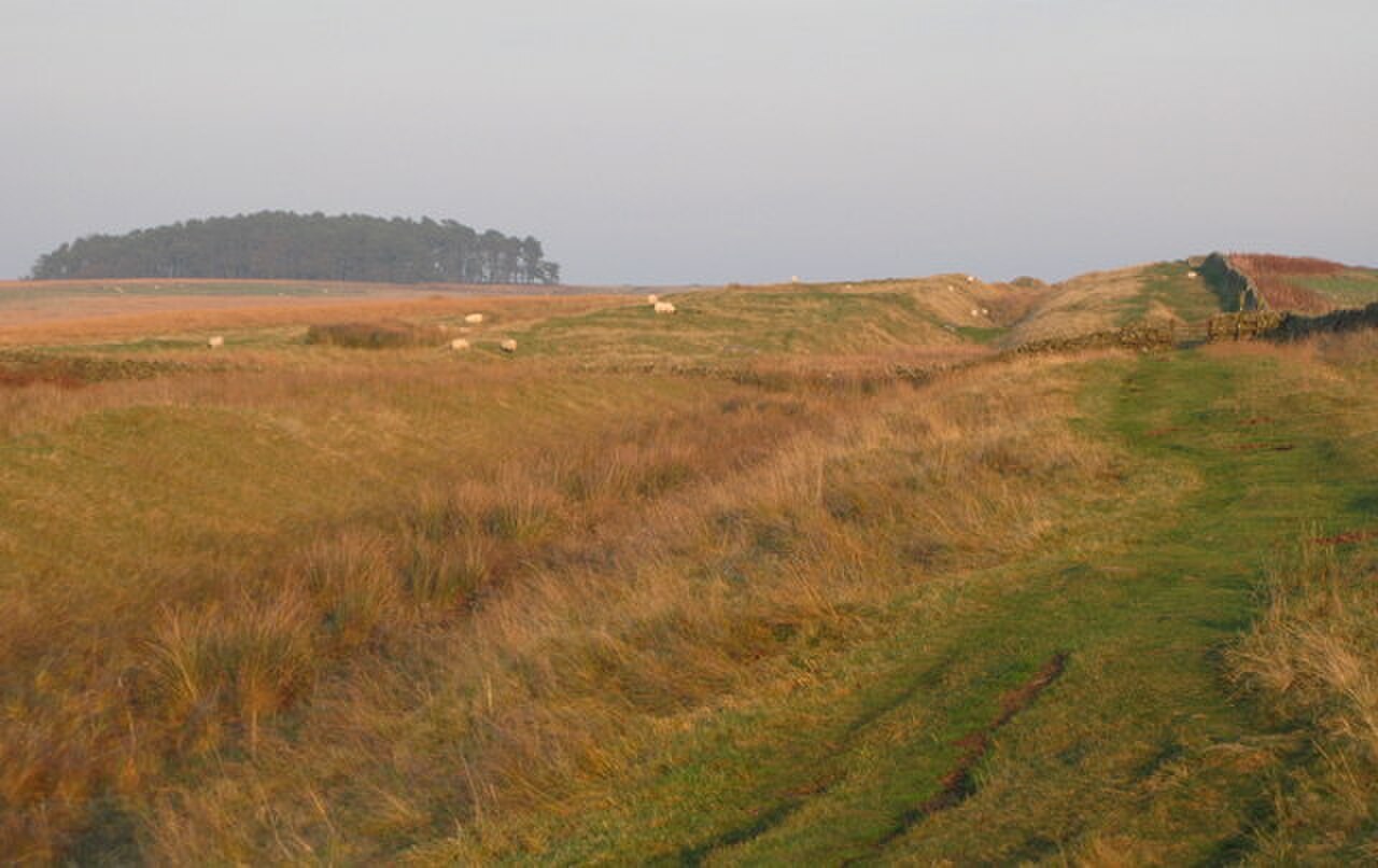 Hadrian's Wall: (The line of) Hadrian's Wall near Shield on the Wall - geograph.org.uk - 592782; material-culture object or museum find connected with the site, Roman period or local archaeological context.
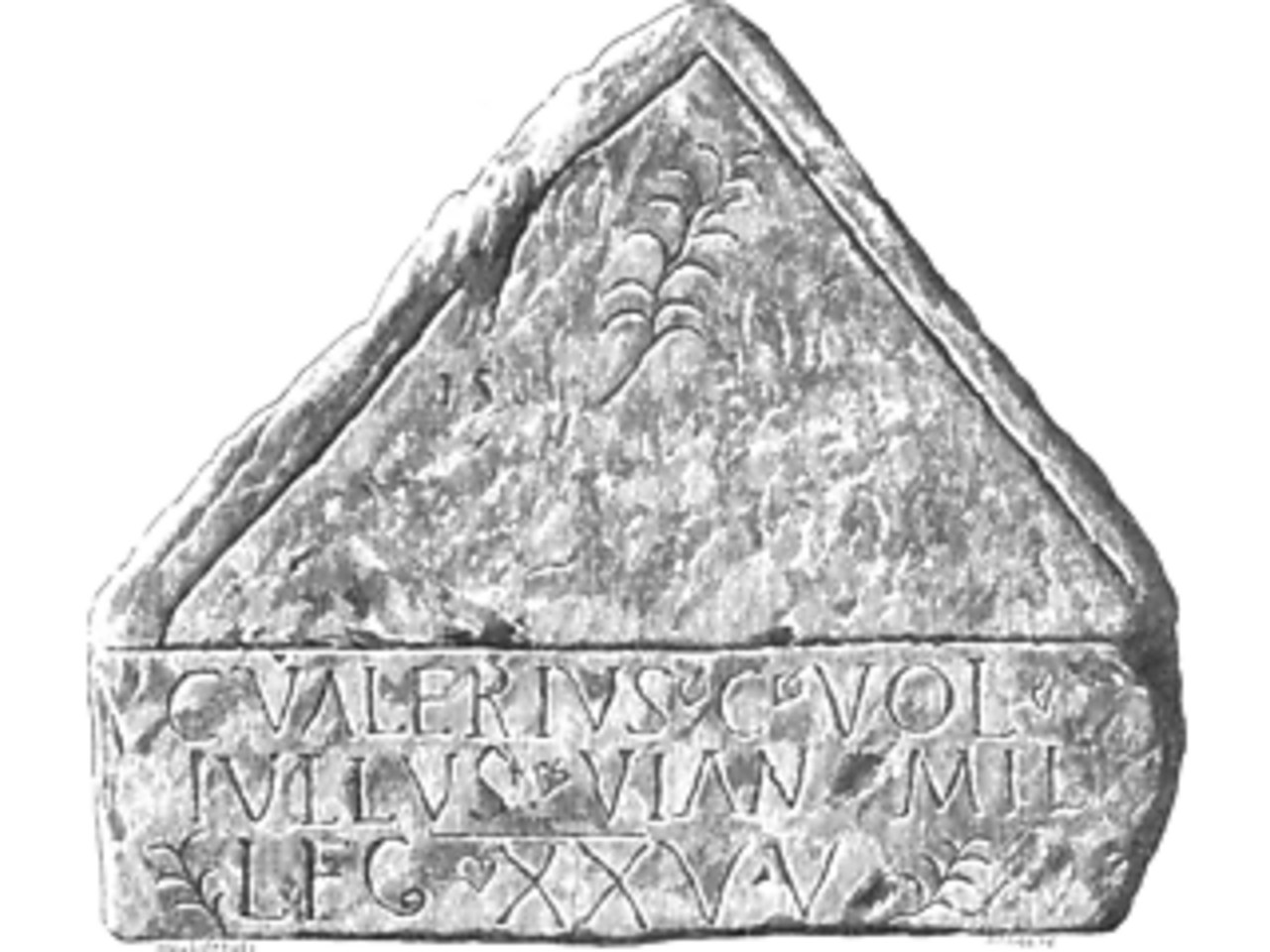 Hadrian's Wall: Funerary Inscription for G.V.Tullus carvoran; material-culture object or museum find connected with the site, Roman period or local archaeological context.
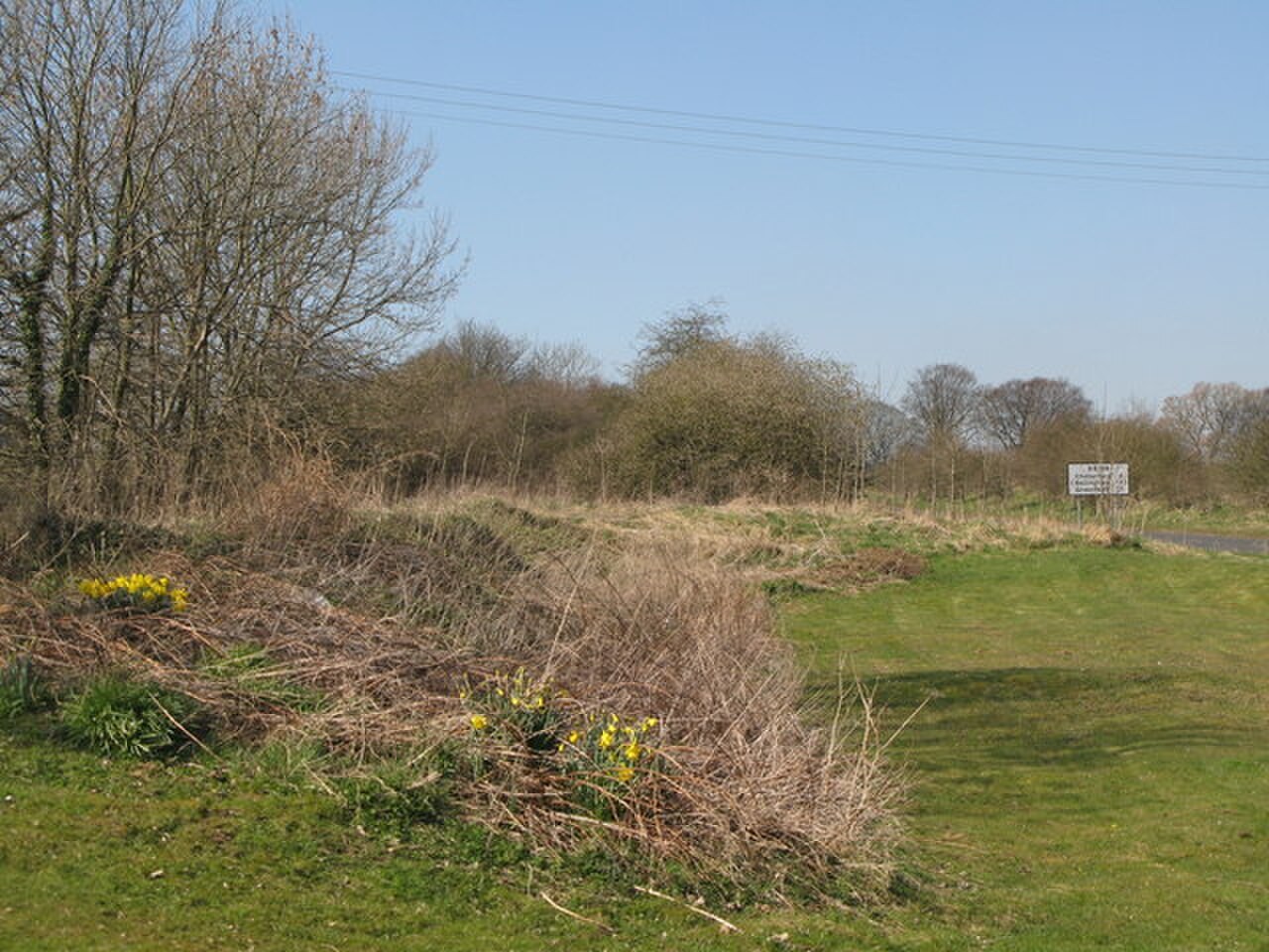 Hadrian's Wall: (The site of) Roman Portgate - geograph.org.uk - 1234715; archaeological view, find or museum context connected with the site, Roman period or local archaeological context.
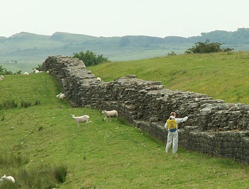 Hadrian's Wall: Hadrians Wall with Weedkiller; archaeological view, find or museum context connected with the site, Roman period or local archaeological context.
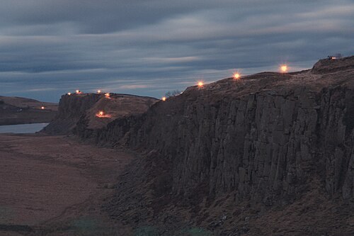 Hadrian's Wall: Beacons lit along Hadrians Wall (geograph 4917923); archaeological view, find or museum context connected with the site, Roman period or local archaeological context.
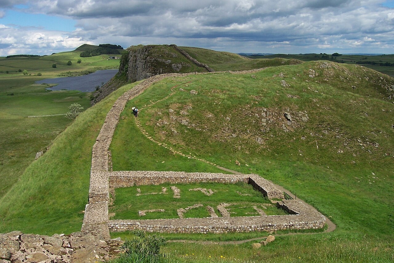 Hadrian's Wall: Milecastle 39 on Hadrian's Wall; archaeological view, find or museum context connected with the site, Roman period or local archaeological context.
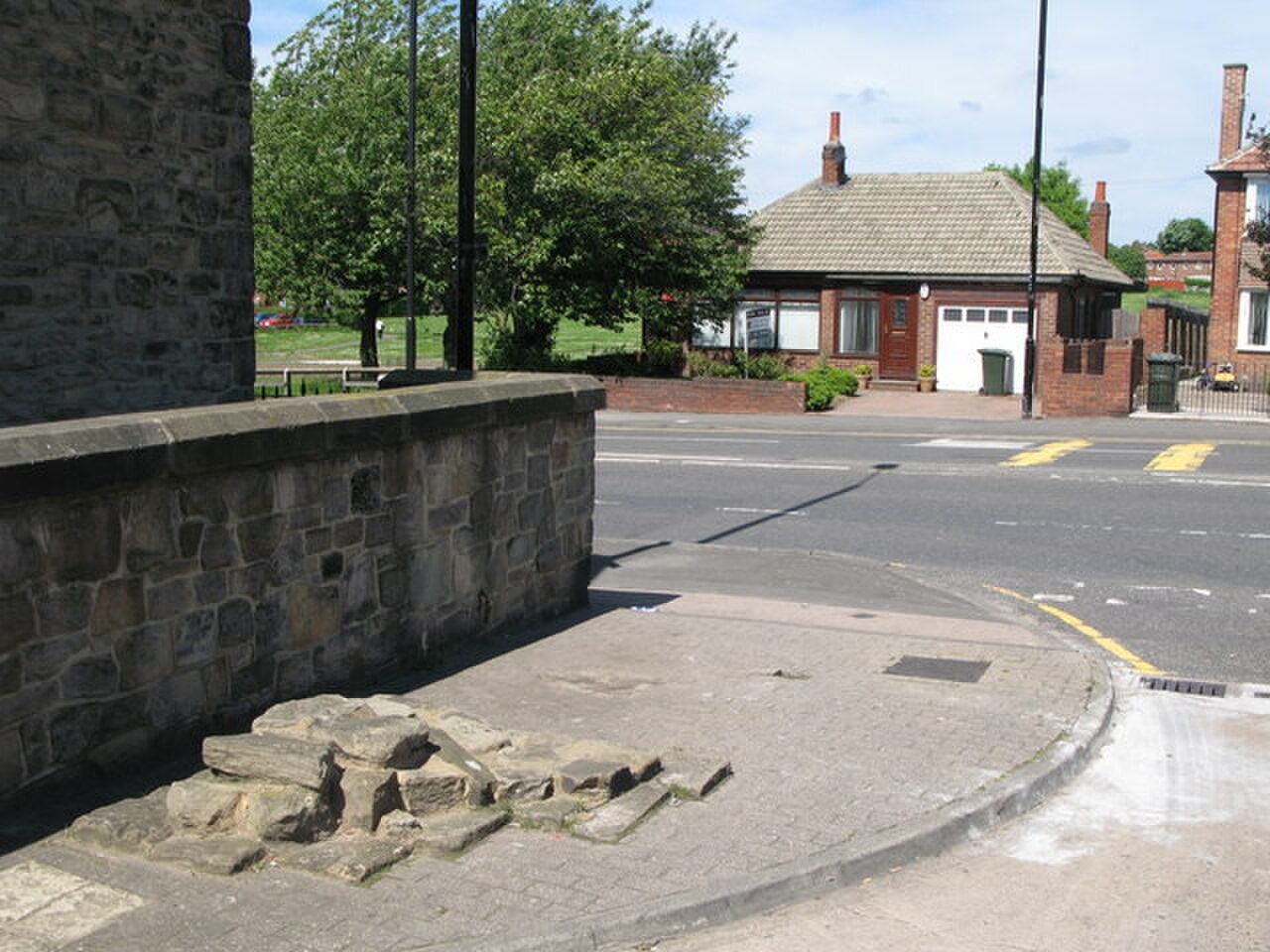 Hadrian's Wall: (A very small part of) Hadrian's Wall - geograph.org.uk - 837908; archaeological view, find or museum context connected with the site, Roman period or local archaeological context.
 Hadrian's Wall: (The line of) Hadrian's Wall - Westgate Road - geograph.org.uk - 911786; archaeological view, find or museum context connected with the site, Roman period or local archaeological context.
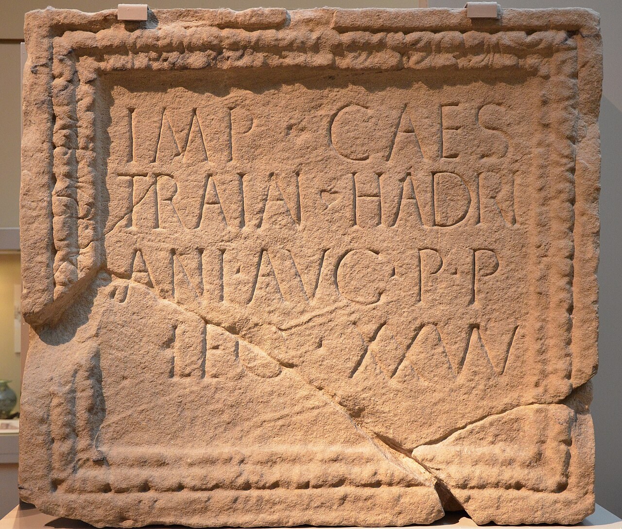 Hadrian's Wall: Hadrianic inscription from the fort of Moresby along Hadrian's Wall recording the compl...; material-culture object or museum find connected with the site, Roman period or local archaeological context.
 Hadrian's Wall: Stone relief with Mithras emerging from the cosmic egg, from Housesteads, CIMRM 860, Gr...; material-culture object or museum find connected with the site, Roman period or local archaeological context.
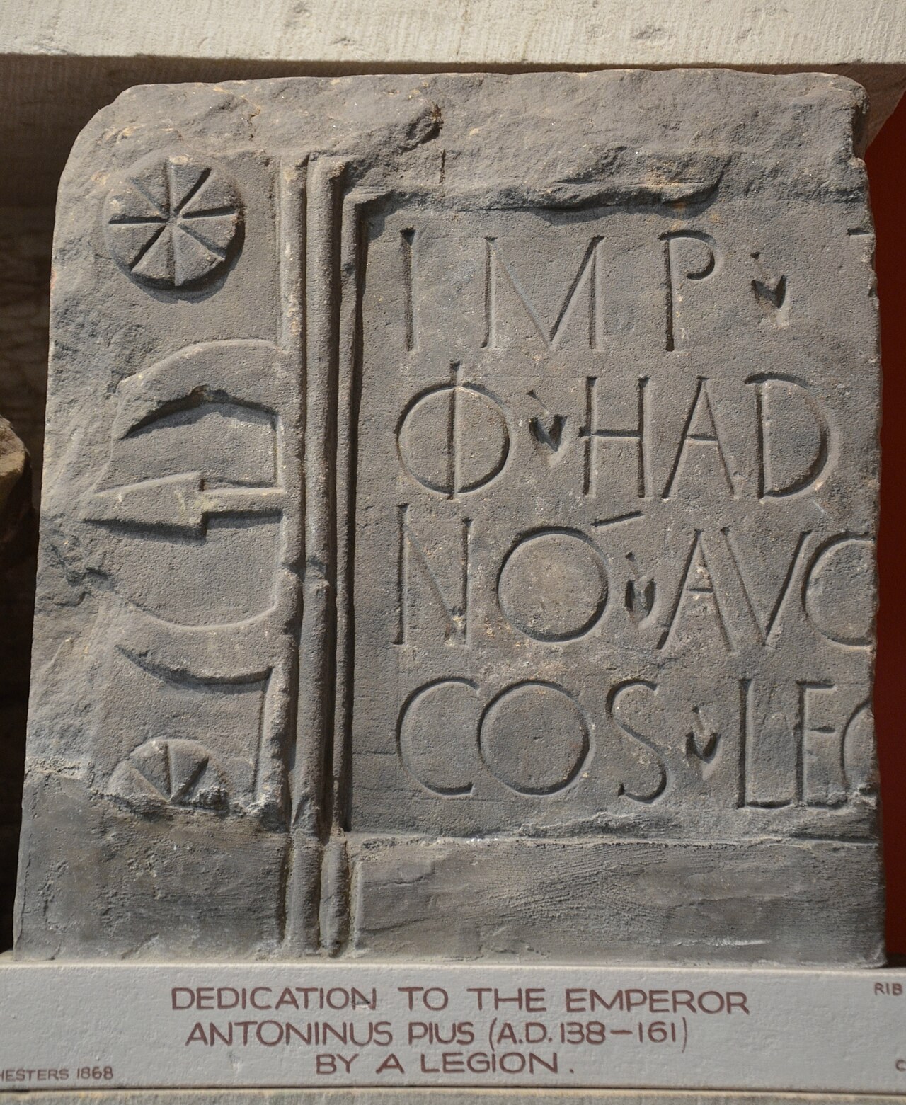 Hadrian's Wall: Inscription dedicated to Emperor Antoninus Pius by the Sixth Legion, who carried out bu...; material-culture object or museum find connected with the site, Roman period or local archaeological context.
Interested in Ancient Rome beyond reading? Join Legio X Fretensis or explore our reenactment directions.


